Region
Palm City, quiet, riverside and inland
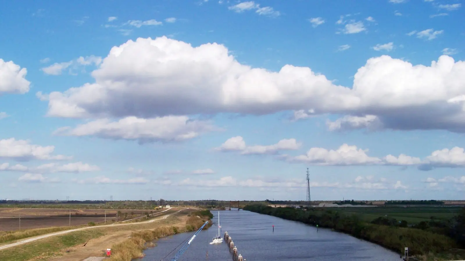
Across the river from Stuart: canals, golf, the lock on the Okeechobee Waterway and the South Fork, where the kayaks go.

10 min
Drive from Stuart

20 min
To the nearest beach

Turnpike
The fastest way in from the west
The other side of the river
Palm City is the west bank of the St. Lucie, joined to Stuart by two bridges and a world apart in pace. It is where the county’s golf courses, riding stables and newer neighbourhoods are, laid out along canals that run back to the river. There is no downtown to speak of; the attractions are the water and the land behind it. The South Fork of the St. Lucie winds south from here through a preserve that is the best paddling on the coast: narrow, shaded and slow.
The lock and the waterway
West of town the St. Lucie Canal leaves the river for Lake Okeechobee, and the St. Lucie Lock and Dam lifts boats fourteen feet on their way across the state to the Gulf. The Army Corps of Engineers runs a campground and a small park beside it where you can watch the lock cycle, picnic under the oaks and fish below the spillway, and the manatees gather in the warm water there in winter.
The canal is also the valve that releases lake water into the estuary after heavy rain. When it opens, the river turns brown and the fishing moves to the inlet; the ocean beaches are never affected.
What to do here
Golf is the obvious answer: the public course in the pines at the edge of town is the cheapest round on the coast, and the private club on the river is the hardest to get onto. The Saturday market fills a park by the bridge with produce, bread and plants. Halpatiokee Regional Park on the South Fork has trails, a canoe launch and a mountain-bike loop that is the only real hill for forty miles. Dinner is in Stuart, ten minutes across the bridge. The riding stables along the canals take beginners out on the trails in winter, and the canal banks themselves are the flattest cycling in the county.
Getting here
The Palm City Bridge and the Veterans Memorial Bridge both cross from Stuart, and the Florida Turnpike exit is here too, which makes Palm City the fastest way in from Orlando and the west. There are no beaches; the nearest sand is Stuart Beach, twenty minutes away.
Things to do here
Golf
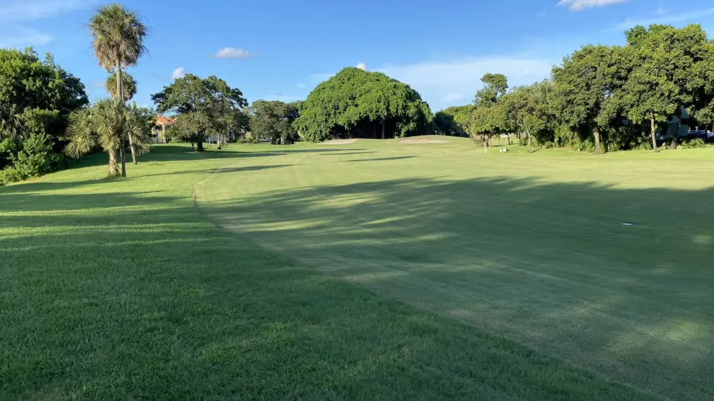
Savanna Pines Public Course
Palm City
7 am to dusk
Eighteen flat holes in the pines, the cheapest round on the coast and an afternoon rate that empties the car park.
Eat
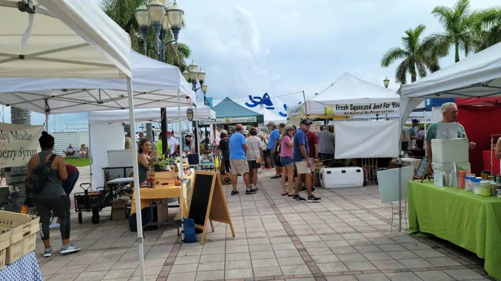
Mangrove Market
Palm City
Saturdays 8 am to 1 pm
Forty stalls of produce, bread, honey and smoked fish in a park by the river every Saturday morning.
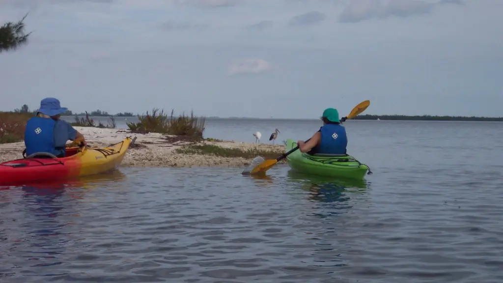
Fishing
Sailfish School of Kayak Fishing
The South Fork
4 hours
Learn to fish from a kayak on the South Fork: snook under the mangroves, redfish on the flats and a guide who paddles beside you.
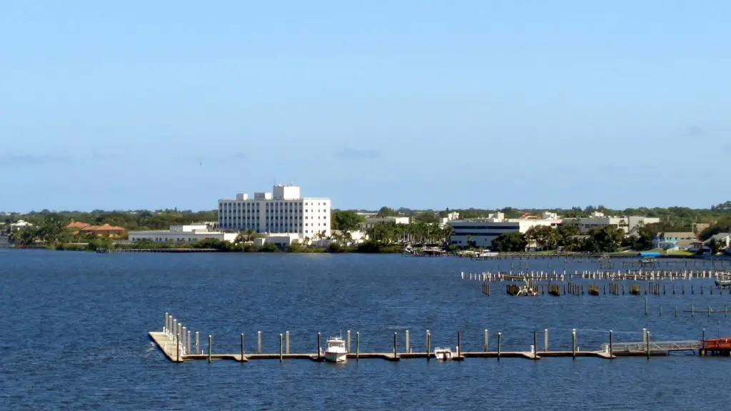
Park
Stuart Riverwalk
Across the bridge
Dawn to 11 pm
Ten minutes over the bridge: the boardwalk, the stage and the docks of downtown Stuart.
Good to know
- The Turnpike exit at Palm City is the quickest way in from Orlando.
- The St. Lucie Lock park has free picnic tables, restrooms and a campground run by the Army Corps.
- After heavy rain the lock releases lake water and the river turns brown for weeks; the ocean beaches are unaffected.
- There are no beaches in Palm City; Stuart Beach is twenty minutes away.
- The South Fork preserve is the calmest paddling on the coast and the buggiest after rain.
The other regions
-
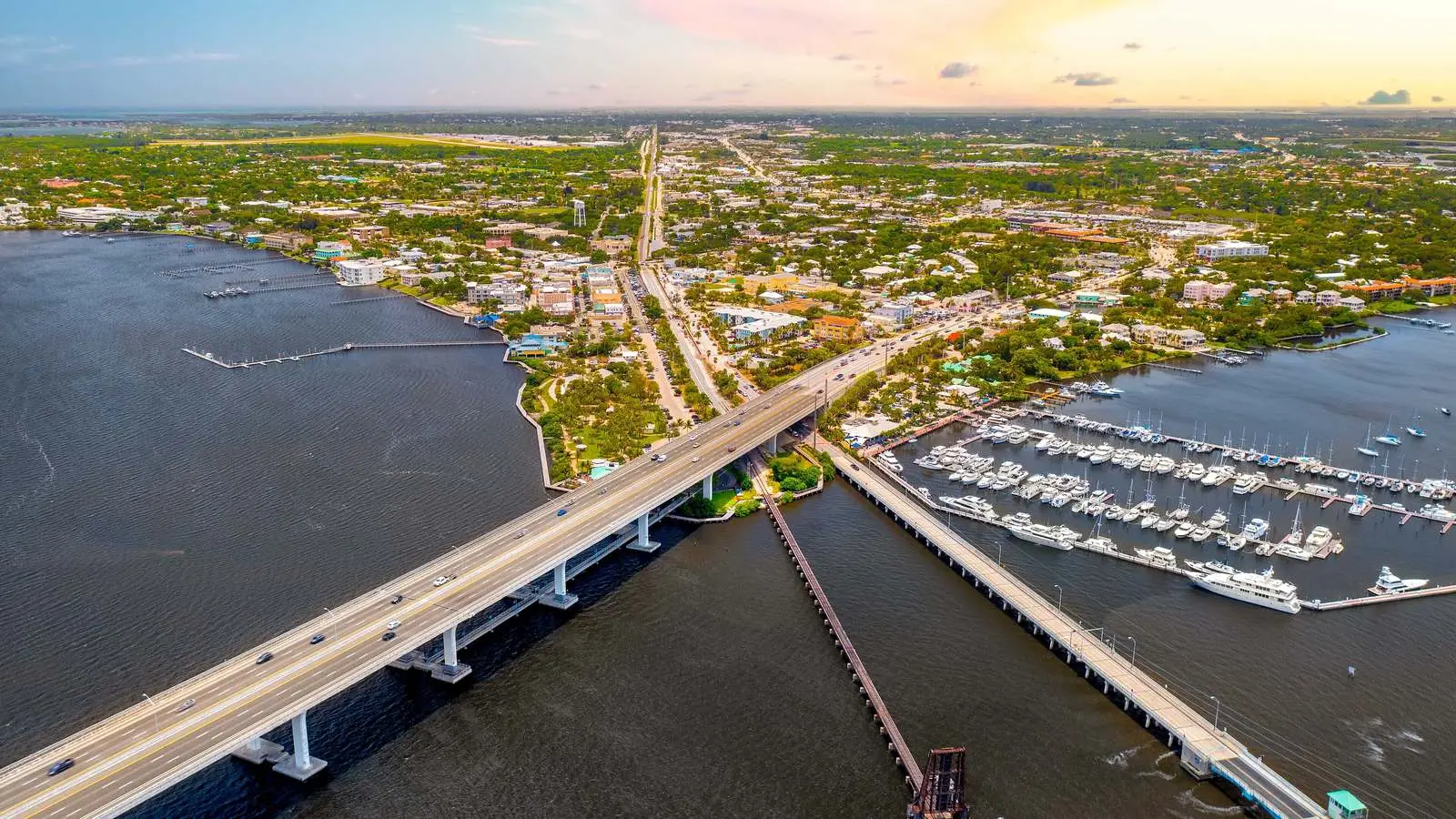
Region
Stuart
The county seat and the base for most visits: downtown, the Riverwalk,…
-
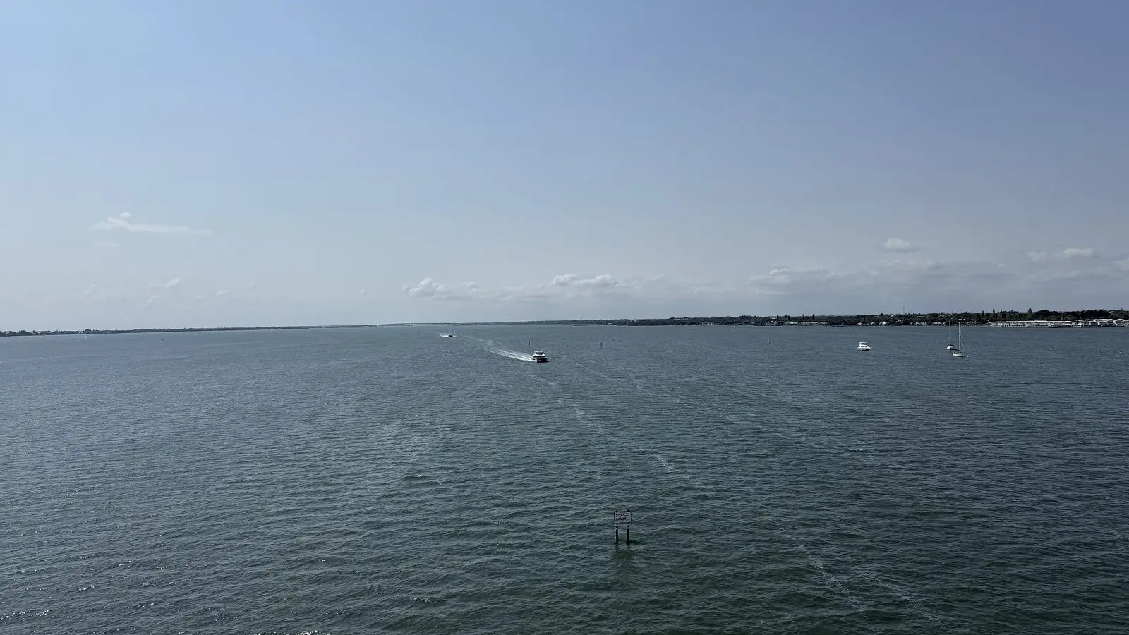
Region
Jensen Beach
A one-street village on the lagoon with a causeway to a boardwalk…
-
Region
Hutchinson Island
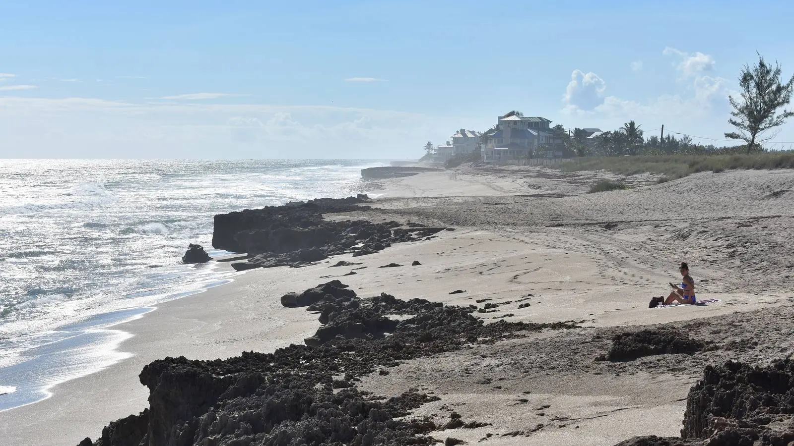
Twenty miles of barrier island: the county beaches, Bathtub Reef, three museums…
-
Region
Hobe Sound
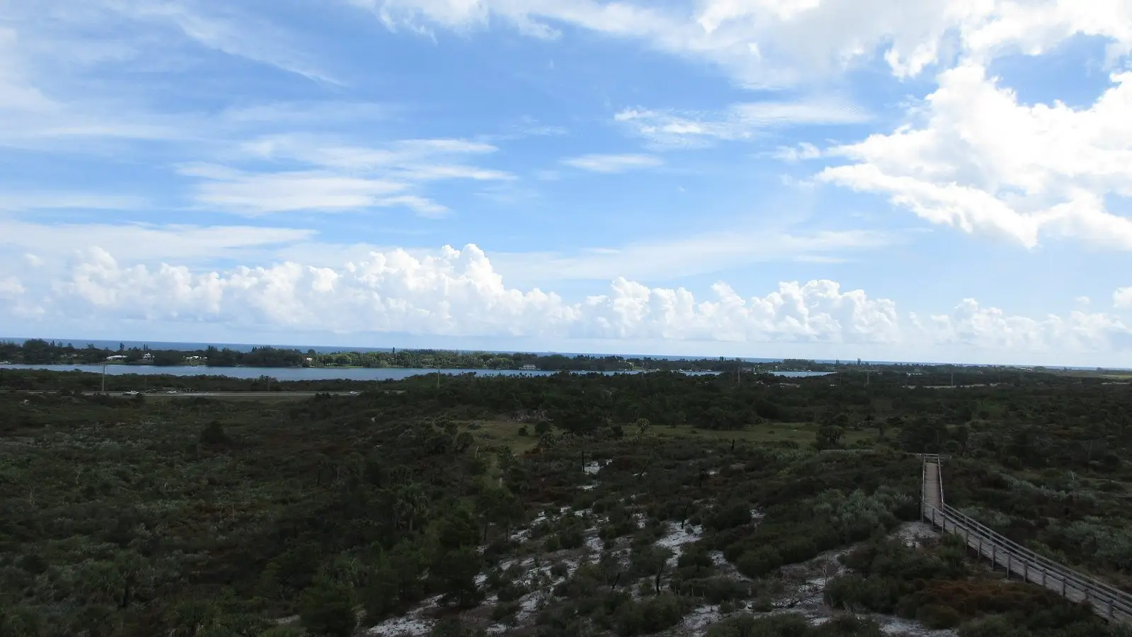
The wild end of the coast: the refuge beach, Jonathan Dickinson State…
-
Region
Jupiter
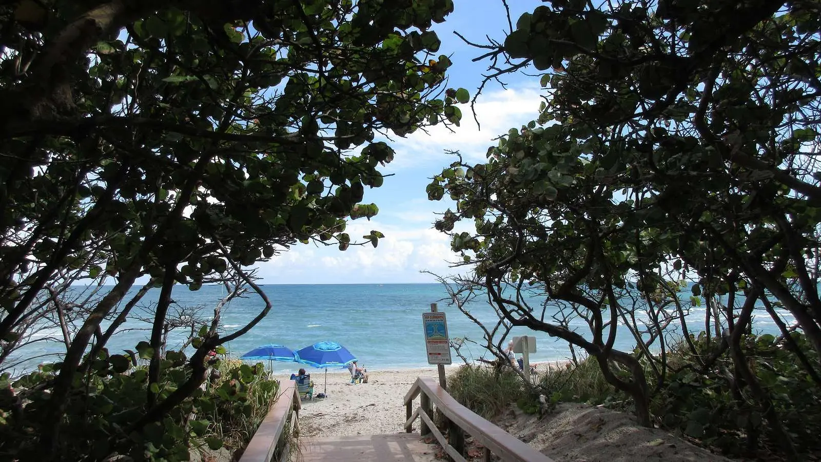
The south end of the guide: the 1860 lighthouse, the clearest inlet…