
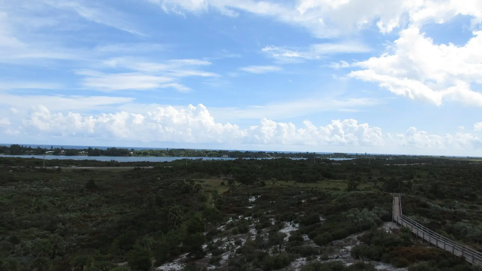
Region
Hobe Sound, dunes, the refuge and Blowing Rocks
The wild end of the coast: a wildlife refuge with an empty beach, the biggest state park in southeast Florida and the rocks where the sea blows through.

20 min
Drive from Stuart

Bridge Road
The drawbridge to the beach

$6
State park entry per vehicle
A town that chose to stay small
Hobe Sound is a strip of US 1 between the pines of Jonathan Dickinson State Park and the mansions of Jupiter Island, with a small downtown of a few blocks and the Bridge Road drawbridge across to the beach. The town has kept its height limits and its trees; the ocean side of the island is the Hobe Sound National Wildlife Refuge, three miles of dune and beach with no buildings in sight. The name, like the sound itself, comes from the Jobe people who lived here before the Spanish. Bridge Road is the whole downtown: a bakery, a hardware store, a couple of restaurants and the post office, and all of it closes early.
The refuge beach and Blowing Rocks
Drive to the end of Bridge Road, turn north and the road ends at the refuge beach: a parking lot, a boardwalk over the dune and the Atlantic. It is the emptiest beach on the coast on a weekday and the best place to see what the whole island looked like before the condominiums.
Two miles south, Blowing Rocks Preserve is the largest outcrop of Anastasia limestone on the Atlantic coast, and at high tide with an onshore wind the waves force up through holes in the rock and blow fifty feet into the air. Go at high tide in winter after a front for the show, and at low tide for the pools.
Jonathan Dickinson State Park
The park is the reason to stay a night. Eleven thousand acres of scrub, pine flatwoods and the Loxahatchee River, with a tower on Hobe Mountain, the highest natural point in South Florida at 86 feet; a boat tour upriver to the camp of Trapper Nelson, the hermit who lived there until 1968; and two campgrounds where the sky is dark enough to see the Milky Way. Kayaks and canoes rent at the river, and the trails are flat, sandy and long.
Getting here
Twenty minutes south of Stuart on US 1 through the park’s pines, or along A1A on the island from the Jupiter end. The Bridge Road drawbridge opens on demand; sit through it and watch the boats.
Things to do here
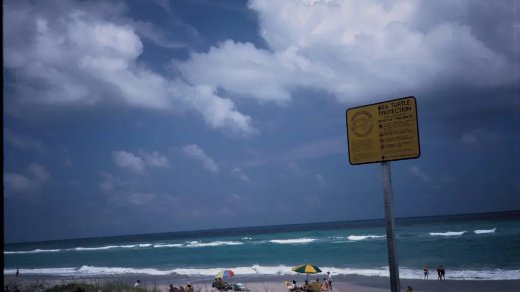
Beach
Hobe Sound Beach
End of Bridge Road
Sunrise to sunset
A county beach with lifeguards beside three miles of refuge beach with nothing on it at all.
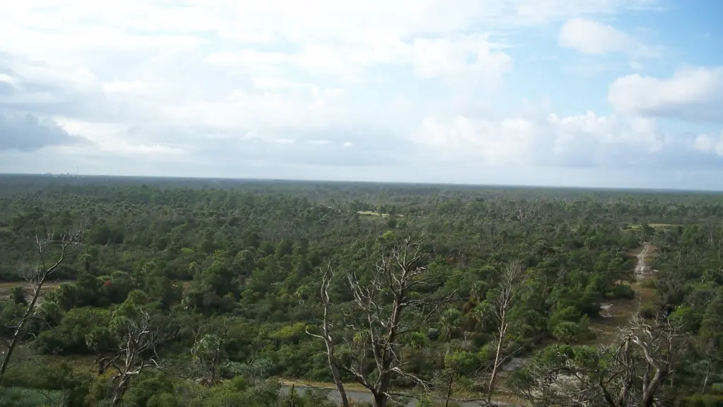
Park
Jonathan Dickinson State Park
US 1, south of town
8 am to sunset
Eleven thousand acres of scrub and river, the Hobe Mountain tower and the boat up the Loxahatchee to Trapper Nelson’s.
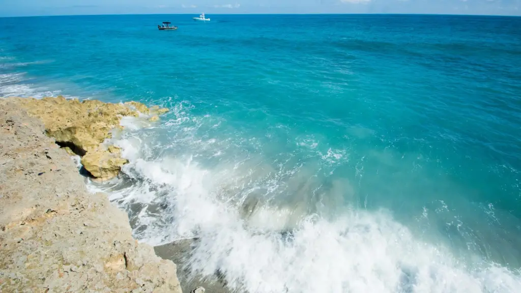
Beach
Blowing Rocks Preserve
Jupiter Island
9 am to 4.30 pm
The largest limestone outcrop on the Atlantic coast; at high tide after a front the sea blows through the rock.
Stay
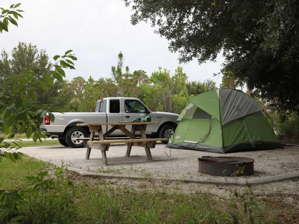
Jonathan Dickinson campground
In the park
Water and electric
Two camping areas with hook-ups, hot showers and the darkest sky on the coast; book months ahead for winter.
Good to know
- The refuge beach has no lifeguards, no shade and no water; bring everything.
- Blowing Rocks is only dramatic at high tide with an onshore wind; check the tide table first.
- The state park gate closes at sunset; campers get a code.
- Jupiter Island’s roads are public and its beaches mostly are not; use the refuge and the county beach.
- Mosquitoes in the park are serious from June to October, especially at dusk.
The other regions
-
Region
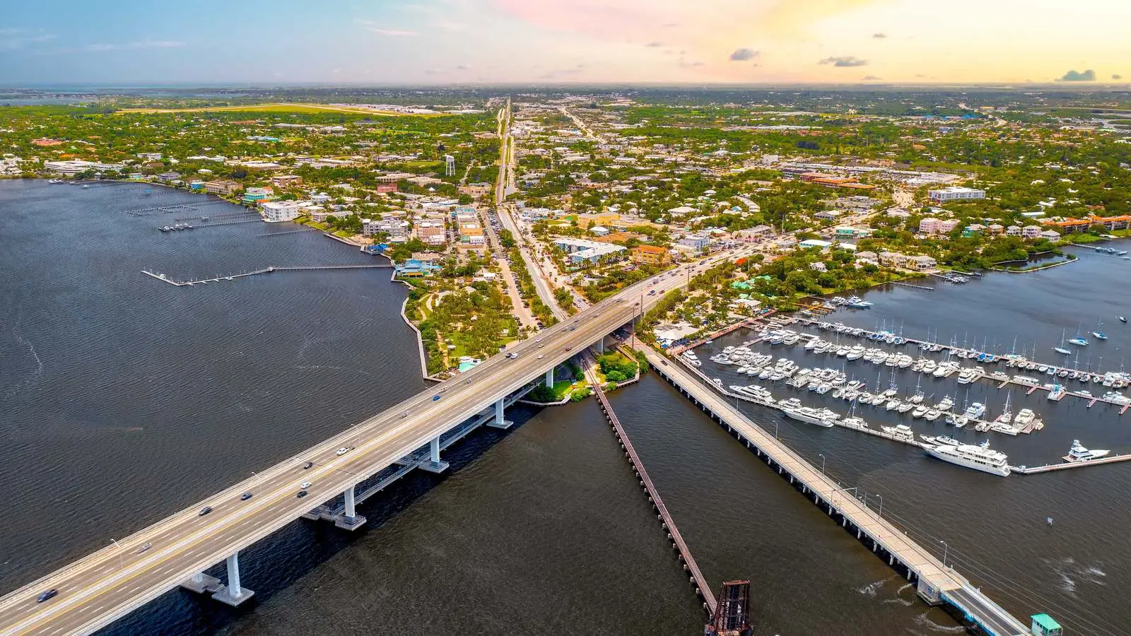
Stuart
The county seat and the base for most visits: downtown, the Riverwalk,…
-
Region
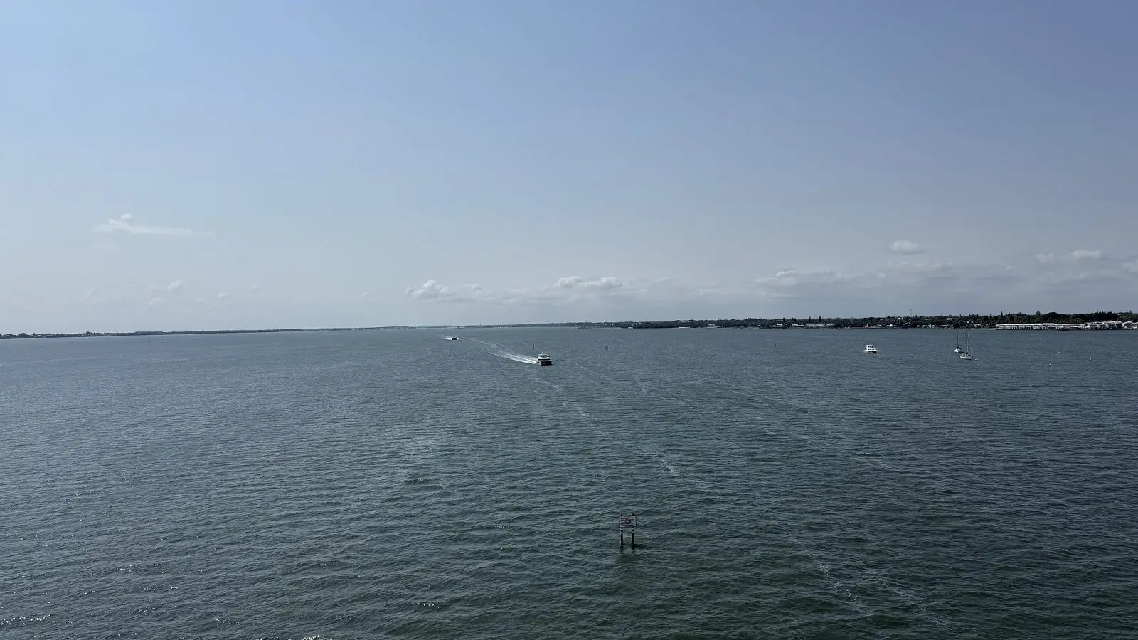
Jensen Beach
A one-street village on the lagoon with a causeway to a boardwalk…
-
Region
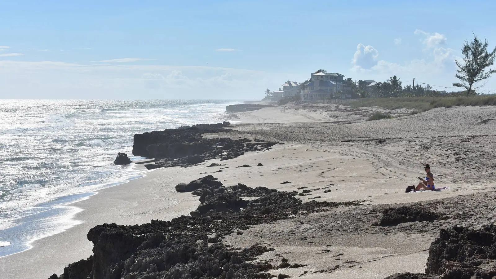
Hutchinson Island
Twenty miles of barrier island: the county beaches, Bathtub Reef, three museums…
-
Region
Palm City
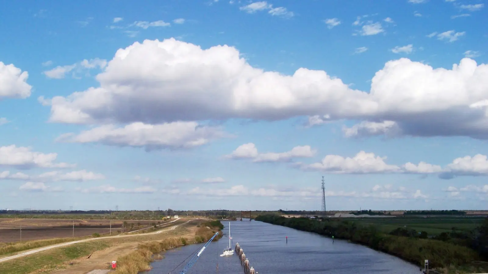
The west bank of the river: golf, the lock on the Okeechobee…
-
Region
Jupiter
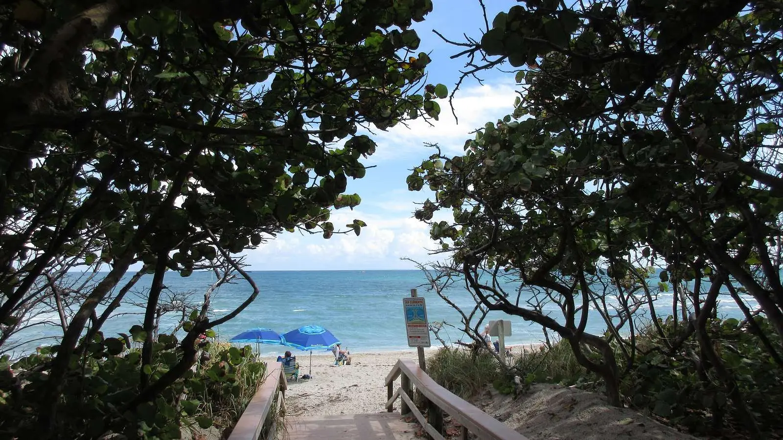
The south end of the guide: the 1860 lighthouse, the clearest inlet…